


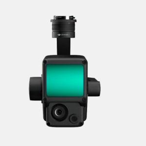
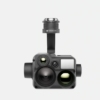
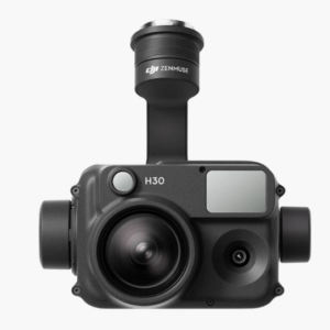
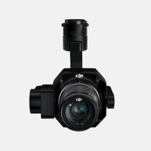
Camera Zenmuse L1
9,999$
Zenmuse L1 Camera – breakthrough technology in photography and video recording. With 20MP resolution and 4K video recording, Zenmuse L1 delivers images of excellent quality and detail. Combining optical sensors and LiDAR, Zenmuse L1 helps you create accurate 3D models and optimize workflow. Read the article below to learn more about the Zenmuse L1 Camera and how it can be applied in many different fields.
1. Introduction to Zenmuse L1 Camera
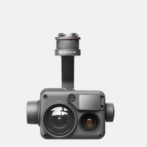
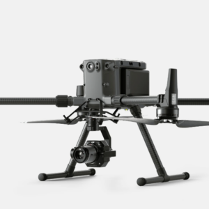
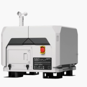
The Zenmuse L1 camera is a professional solution for surveying, mapping and data collection in the fields of geology, construction and architecture. With a compact design, this camera integrates a LiDAR sensor and an optical camera to provide detailed information about the surrounding environment. Designed specifically for the DJI Matrice 300 RTK industrial drone, it integrates the Livox Lidar module, high-precision IMU and 1-inch 20MP CMOS camera and Zenmuse 3-axis gimbal. The system provides real-time terrain-aware flight path generation.
dji-camera-zenmuse-l1
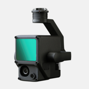
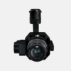
In particular, the LiDAR camera system of DJI Zenmuse L1 is integrated on the same base as the RGB camera, helping to optimize the ability to collect data from above. This LiDAR camera is capable of collecting 3D data with a resolution of 240,000 points per second and a data collection range of up to 450 meters, helping to increase the accuracy of collected data and improve efficiency in data analysis and processing process.
2. Features of Zenmuse L1 Camera
High-quality images: 20-megapixel RGB camera enables high-resolution and color-accurate photos and videos.
dji-zenmuse-l1-5
LiDAR sensor: Integrated LiDAR sensor to measure distance and create 3D terrain models.
zenmuse-l1-2023-01
High accuracy: Combining RGB camera and LiDAR sensor helps create accurate models, measure distance and determine location.
Multi-dimensional data acquisition: Provides 2D information, elevation and 3D data, allowing rich and detailed data collection.
Enhance work efficiency: Collect data quickly and effectively, saving time and effort.
dji-zenmuse-l1-2
Diverse applications: Used in many different fields and industries, including topographic surveying, construction, infrastructure management and many other applications.
DJI Terra software: Integrates with DJI Terra software to conveniently process and manage collected data.
Integration and Compatibility: Designed to integrate with DJI drones and is compatible with DJI software and control systems.
dji-zenmuse-l1-4
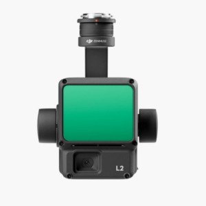
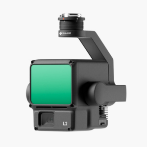
Similar product:
DJI Zenmuse L2 camera
Camera Zenmuse P1
Camera Zenmuse H20N
Zenmuse H20 Series Camera (H20, H20T)
3. Application of Zenmuse L1 Camera
Terrain measurement: DJI Zenmuse L1 helps create detailed terrain models, determine elevations and create accurate maps, supporting in the field of terrain measurement and land management.
DJI-Zenmuse-L1-M300-RTK-01
Construction and architecture: Zenmuse L1 camera provides high-quality 3D data and RGB images, assisting in checking construction progress, monitoring construction quality and creating 3D models for design and planning construction plan.
Construction and architecture
Environmental survey: DJI Zenmuse L1 camera collects data on natural environments such as forests, rivers, and lakes, helping to classify and evaluate environmental conditions, determine forest area and soil condition.
Forest environment survey
Railway and electricity protection and management: Zenmuse L1 LiDAR camera supports safety inspection, maintenance and management of railway and electricity infrastructure by detecting damage, deviations and determining the condition technical status.
Market survey
Industrial projects: Zenmuse L1 is used in managing and inspecting industrial projects such as factories, industrial parks, and export processing zones, helping to measure and determine project dimensions and check technical performance. .
survey industry
4. Benefits of Zenmuse L1 Camera
Increased performance and accuracy: Data collected from the DJI Zenmuse L1 Camera helps increase work efficiency and improve accuracy in measurement, survey and construction inspection tasks.
Save time and effort: Using DJI Zenmuse L1 saves time and effort compared to traditional methods of data collection and information processing.
Diverse applications: DJI Camera Zenmuse L1 can be used in many different fields and industries, including topographic surveying, construction, infrastructure management, environmental surveying and many more applications other.
Easy data management: Zenmuse L1 integrates with DJI Terra software, helping users conveniently process and manage collected data. This software provides a simple interface and powerful tools for 3D modeling, mapping, and data analysis.
Camera Zenmuse L1 Banner 2
5. How much does the Zenmuse L1 camera cost?
Zenmuse L1 camera is considered a leading product in the field of camera and LiDAR technology. Its price may vary depending on many factors such as place of purchase and time of purchase. However, the price usually ranges from 8,000 USD to 10,000 USD. Please contact AGS for more detailed consulting support!
6. Zenmuse L1 Camera User Guide
Step 1: Prepare before use
Make sure the Zenmuse L1 Camera is installed correctly and connected to the appropriate drone or recording system.
Check that the DJI drone has been updated to the latest firmware and has enough battery.
Step 2: Dry
Be the first to review “Camera Zenmuse L1”
Related products
DETACHABLE DEVICES
DETACHABLE DEVICES
DETACHABLE DEVICES
DETACHABLE DEVICES
DETACHABLE DEVICES
DETACHABLE DEVICES
DETACHABLE DEVICES
DETACHABLE DEVICES
Reviews
There are no reviews yet.